
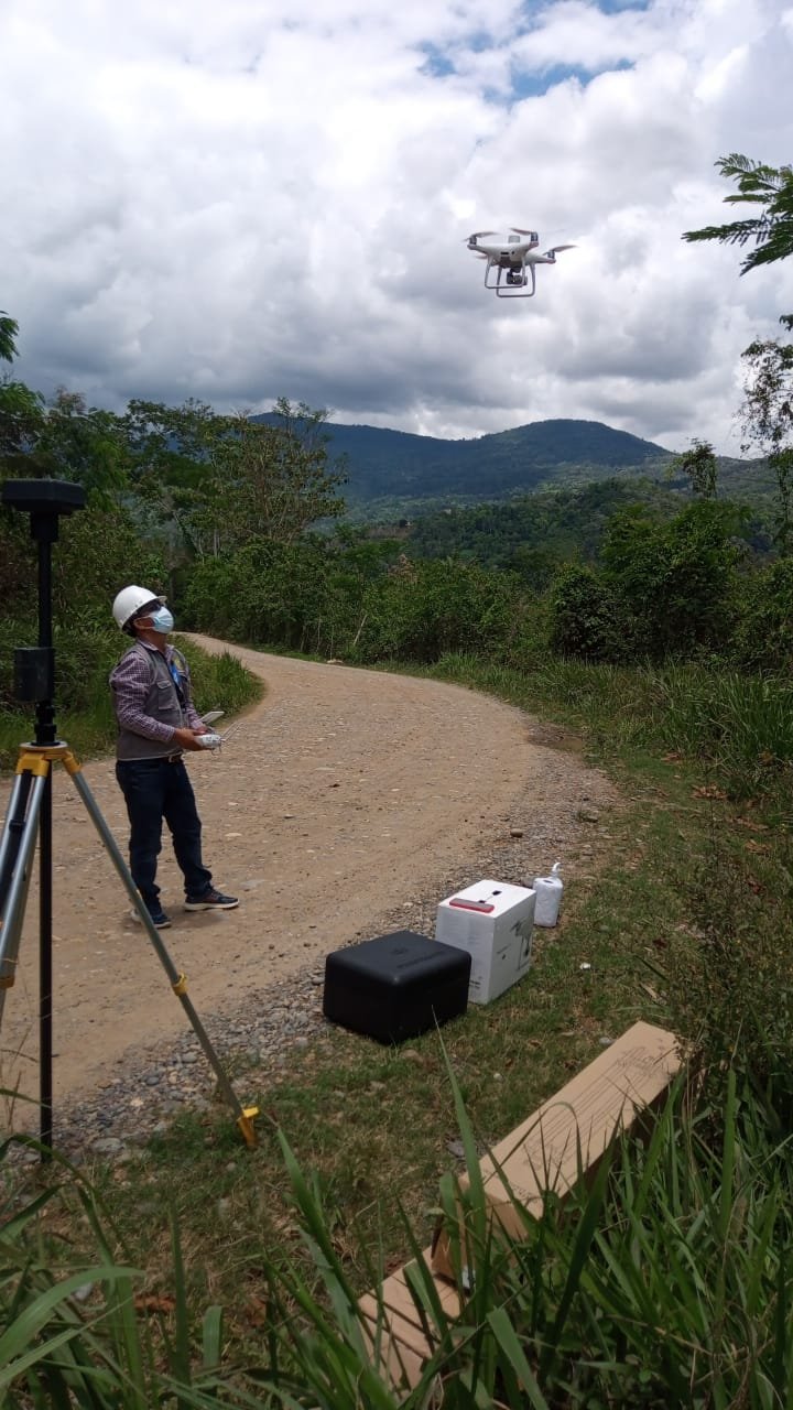

DJI / DRONE PROFILE
DJI Phantom 4 RTK
Explore the available technical information for this aircraft, including camera capabilities, flight performance and manufacturer-specific specifications.
The DJI Phantom 4 RTK is a mapping-focused quadcopter built around a 1-inch 20-megapixel camera and high-precision positioning. It was designed for survey and mapping teams that need georeferenced aerial imagery and a repeatable data-collection workflow. RTK improves positioning, but it does not remove the need for sound survey planning or quality checks.
Camera and positioning
DJI specifies a 1-inch CMOS camera with 20 MP effective pixels, a mechanical shutter and a three-axis gimbal. The RTK system provides centimetre-level positioning when correctly configured and fixed. DJI lists approximately 30 minutes maximum flight time under its stated test conditions. Actual endurance depends on battery condition, temperature, wind, payload and mission profile.
Mapping workflow
Survey results depend on more than the aircraft. Flight altitude, image overlap, camera settings, ground control or check points, coordinate reference systems and processing software all affect accuracy. DJI’s own mapping documentation notes that environmental lighting, surface texture, altitude and processing choices influence results. Teams should independently validate deliverables against project requirements.
Who should consider it?
The Phantom 4 RTK can suit surveyors, construction teams and mapping professionals who need a compact aircraft with an integrated RTK workflow. Before buying used, test the camera, gimbal, RTK receiver, antenna, controller and batteries. Confirm regional GNSS support, software access and current legal requirements.
Official source: DJI Phantom 4 RTK specifications and support.
nn
Planning a Phantom 4 RTK mapping project
The value of an RTK aircraft is realised in the complete surveying workflow, not simply by the presence of a positioning module. Before a mission, confirm the coordinate reference system, base-station or network correction method, camera settings, overlap, altitude, ground control strategy and required deliverable accuracy. RTK corrections can improve the aircraft position solution, but they do not remove every source of mapping error. Camera calibration, image quality, satellite geometry, terrain, control-point quality and processing settings still matter.
For a purchase decision, ask whether the controller, batteries, charging equipment, RTK accessories and compatible mapping software are included. On the used market, inspect the gimbal, camera lens, landing gear, battery cycle history, aircraft logs and correction-service compatibility. Compare this catalogue profile with the DJI Phantom 4 RTK review before selecting a workflow.
Drone Specifications
| Brand | DJI |
|---|---|
| Camera | 1-inch CMOS, 20 MP; 4K video at 30 fps; mechanical shutter |
| Maximum Flight Time (minutes) | Approx. 30 min minutes |
| Maximum Transmission Range (km) | 7 km |
| Weight (g) | 1391 g |
| Obstacle Sensing | Forward, backward and downward vision sensing |
| Positioning / GPS | GPS, GLONASS, Galileo, BeiDou; RTK |
| Maximum Speed (m/s) | 16 m/s |
Additional Notes
Phantom 4 RTK: 1,391 g; max flight time approx. 30 min; max service ceiling 6,000 m. RTK accuracy 1 cm + 1 ppm horizontal / 1.5 cm + 1 ppm vertical (RMS) under specified fixed-RTK conditions. Transmission up to 7 km FCC / 5 km CE under unobstructed conditions.
Specification source: Official source
Official Price (USD)
No public USD price was verified on the manufacturer’s official store during this check.
For enterprise or discontinued models, contact the manufacturer for a current quotation. We do not substitute third-party seller prices.
Price checked: 2026-11-07


Aircraft & Flight
| Maximum horizontal speed | 50 km/h P mode; 58 km/h A mode |
|---|
Navigation & Obstacle Sensing
| Supported GNSS systems | GPS + GLONASS + BeiDou + Galileo |
|---|
MANUFACTURER DATA
Detailed official specifications
Technical figures below are transcribed from the manufacturer documentation linked with this profile. Test figures are maximum or controlled-condition ratings where stated; actual performance varies by configuration and operating conditions. A field is omitted when the cited source does not publish a reliable value.
| Aircraft — Takeoff Weight | 1391 g |
|---|---|
| Aircraft — Diagonal Distance | 350 mm |
| Aircraft — Max Service Ceiling Above Sea Level | 19685 ft (6000 m) |
| Aircraft — Max Ascent Speed | 6 m/s (automatic flight); 5 m/s (manual control) |
| Aircraft — Max Descent Speed | 3 m/s |
| Aircraft — Max Speed | 31 mph (50 kph)(P-mode); 36 mph (58 kph)(A-mode) |
| Aircraft — Max Flight Time | Approx. 30 minutes |
| Aircraft — Operating Temperature Range | 32° to 104° F (0° to 40℃) |
| Aircraft — Operating Frequency | 2.400 GHz to 2.483 GHz (Europe, Japan, Korea); 5.725 GHz to 5.850 GHz (United States, China) |
| Aircraft — Transmission Power (EIRP) | 2.4 GHz; CE (Europe) / MIC (Japan) / KCC (Korea) :< 20 dBm; ; 5.8 GHz; SRRC(China) / FCC(United States)/NCC(Taiwan,China):< 26 dBm |
| Aircraft — Hover Accuracy Range | RTK enabled and functioning properly:; Vertical:±0.1 m;Horizontal:±0.1 m ; ; RTK disabled; Vertical:±0.1 m(with vision positioning );; ±0.5 m(with GNSS positioning); Horizontal:±0.3 m(with vision positioning);; ±1.5 m(with GNSS positioning) |
| Aircraft — Image Position Offset | The position of the camera center is relative to the phase center of the onboard D-RTK antenna under the aircraft body's axis:(36, 0, and 192 mm) already applied to the image coordinates in Exif data. The positive x, y, and z axes of the aircraft body point to the forward, rightward, and downward of the aircraft, respectively. |
| GNSS — Single-Frequency, High-Sensitivity GNSS Module | GPS+BeiDou+Galileo(Asia);; GPS+GLONASS+Galileo(other regions) |
| GNSS — Multi-Frequency Multi-System High-Precision RTK GNSS | Frequency Used:; GPS:L1/L2;; GLONASS:L1/L2;; BeiDou:B1/B2;; Galileo:E1/E5a; ; First-Fixed Time:< 50 s; ; Positioning Accuracy: Vertical 1.5 cm + 1 ppm(RMS);; Horizontal 1 cm + 1 ppm(RMS); 1 ppm means the error has a 1mm increase for every 1 km of movement from the aircraft. |
| Mapping Functions — Mapping Accuracy ** | Mapping accuracy meets the requirements of the ASPRS Accuracy Standards for Digital Orthophotos Class Ⅲ; ** The actual accuracy depends on surrounding lighting and patterns, aircraft altitude, mapping software used, and other factors when shooting. |
| Mapping Functions — Ground Sample Distance(GSD) | (H/36.5) cm/pixel,; H means the aircraft altitude relative to shooting scene (unit: m) |
| Mapping Functions — Data Acquisition Efficiency | Max operating area of approx. 1 km² for a single flight(at an altitude of 182 m, i.e., GSD is approx. 5 cm/pixel, meeting the requirements of the ASPRS Accuracy Standards for Digital Orthophotos Class Ⅲ |
| Gimbal — Stabilization | 3-axis (tilt, roll, yaw) |
| Gimbal — Pitch | -90° to +30° |
| Gimbal — Max Controllable Angular Speed | 90°/s |
| Gimbal — Angular Vibration Range | ±0.02° |
| Vision System — Velocity Range | ≤31 mph(50 kph) at 6.6 ft(2 m) above ground with adequate lighting |
| Vision System — Altitude Range | 0-33 ft(0 - 10 m) |
| Vision System — Operating Range | 0-33 ft(0 - 10 m) |
| Vision System — Obstacle Sensing Range | 2-98 ft(0.7-30 m) |
| Vision System — FOV | Forward/Rear: 60° (horizontal), ±27° (vertical); Downward: 70° (front and rear), 50° (left and right) |
| Vision System — Measuring Frequency | Forward/Rear:10 Hz; ; Downward: 20 Hz |
| Vision System — Operating Environment | Surfaces with clear patterns and adequate lighting(> 15 lux) |
| Infrared — Obstacle Sensing Range | 0.6-23 ft(0.2 - 7 m) |
| Infrared — FOV | 70°(Horizontal) ; ±10°(Vertical) |
| Infrared — Measuring Frequency | 10 Hz |
| Infrared — Operating Environment | Surface with diffuse reflection material, and reflectivity> 8%(such as wall,trees, humans, etc.) |
| Camera — Sensor | 1" CMOS; Effective pixels: 20 M |
| Camera — Lens | FOV 84°;8.8 mm / 24 mm(35 mm format equivalent:24 mm);; f/2.8 - f/11, auto focus at 1 m - ∞ |
| Camera — ISO Range | Video:100-3200(Auto); 100-6400(Manual);; ; Photo:100-3200(Auto); 100-12800(Manual) |
| Camera — Mechanical Shutter Speed | 8 - 1/2000 s |
| Camera — Electronic Shutter Speed | 8 - 1/8000 s |
| Camera — Max Image Size | 4864×3648(4:3);; 5472×3648(3:2) |
| Camera — Video Recording Modes | H.264,4K:3840×2160 30p |
| Camera — Photo Format | JPEG |
| Camera — Video Format | MOV |
| Camera — Supported File Systems | FAT32(≤ 32 GB);; exFAT(> 32 GB) |
| Camera — Supported SD Cards | MicroSD, Max Capacity: 128 GB. Class 10 or UHS-1 rating required Write speed≥15 MB/s |
| Camera — Operating Temperature Range | 32° to 104° F (0° to 40℃) |
| Remote Controller — Operating Frequency | 2.400 GHz-2.483 GHz(Europe,Japan,Korea); 5.725 GHz-5.850 GHz(United States, China) |
| Remote Controller — Transmission Power (EIRP) | 2.4 GHz; CE / MIC / KCC:< 20 dBm; ; 5.8 GHz; SRRC / FCC:< 26 dBm |
| Remote Controller — Max Transmission Distance | FCC:4.3 mi(7 km);; SRRC / CE / MIC / KCC:3.1 mi(5 km) (Unobstrcted, free of interference) |
| Remote Controller — Power Consumption | 16 W(typical value) |
| Remote Controller — Display | 5.5 inch screen, 1920×1080, 1000 cd/m², Android System; Memory 4G RAM+16G ROM |
| Remote Controller — Operating Temperature Range | 32° to 104° F (0° to 40℃) |
| Intelligent Flight Battery(PH4-5870mAh-15.2V) — Capacity | 5870 mAh |
| Intelligent Flight Battery(PH4-5870mAh-15.2V) — Voltage | 15.2 V |
| Intelligent Flight Battery(PH4-5870mAh-15.2V) — Battery Type | LiPo 4S |
| Intelligent Flight Battery(PH4-5870mAh-15.2V) — Energy | 89.2 Wh |
| Intelligent Flight Battery(PH4-5870mAh-15.2V) — Net Weight | 468 g |
| Intelligent Flight Battery(PH4-5870mAh-15.2V) — Charging Temperature Range | 14° to 104℉(-10° to 40℃) |
| Intelligent Flight Battery(PH4-5870mAh-15.2V) — Max charging Power | 160 W |
| Intelligent Flight Battery Charging Hub(PHANTOM 4 CHARING HUB) — Voltage | 7.6 V |
| Intelligent Flight Battery Charging Hub(PHANTOM 4 CHARING HUB) — Operating Temperature Range | 41° to 104℉(5° to 40℃) |
| Intelligent Flight Battery Charging Hub(PHANTOM 4 CHARING HUB) — Capacity | 4920 mAh |
| Intelligent Flight Battery Charging Hub(PHANTOM 4 CHARING HUB) — Battery Type | LiPo 2S |
| Intelligent Flight Battery Charging Hub(PHANTOM 4 CHARING HUB) — Energy | 37.39 Wh |
| Intelligent Flight Battery Charging Hub(PHANTOM 4 CHARING HUB) — Operating Temperature | -4° to 104℉(-20° to 40℃) |
| Intelligent Battery Charing Hub(WCH2) — Input Voltage | 17.3 - 26.2 V |
| Intelligent Battery Charing Hub(WCH2) — Output Voltage and Current | 8.7 V,6 A;5 V,2 A |
| Intelligent Battery Charing Hub(WCH2) — Operating Temperature | 41° to 104℉(5° to 40℃) |
| AC Power Adapter(PH4C160) — Voltage | 17.4 V |
| AC Power Adapter(PH4C160) — Rated Power | 160 W |
| SDK Remote Controller — Operating Frequency | 2.400 GHz to 2.483 GHz (Europe, Japan, Korea); 5.725 GHz to 5.850 GHz (Other countries/regions) |
| SDK Remote Controller — EIRP | 2.4 GHz; CE / MIC / KCC: < 20 dBm; ; 5.8 GHz; FCC / SRRC / NCC: < 26 dBm |
| SDK Remote Controller — Max Transmission Distance | FCC / NCC: 4.3 mi (7 km);; CE / MIC / KCC / SRRC: 3.1 mi (5 km); (Unobstructed, free of interference) |
| SDK Remote Controller — Built-in Battery | 6000 mAh LiPo 2S |
| SDK Remote Controller — Operating Current / Voltage | 1.2 A @ 7.4 V |
| SDK Remote Controller — Mobile Device Holder | Tablets and smartphones |
| SDK Remote Controller — Operating Temperature | 32° to 104° F (0° to 40° C) |
Source: manufacturer technical specifications and official support documentation. Regional versions, payloads, batteries, firmware and test conditions can change the stated figures. Check the linked source for the applicable configuration.